Terrific view of Anchorage from Mile 15 of KGB in Wasilla
While playing the role of tourist and aimlessly driving the streets of Wasilla, Alaska two days ago , I was reminded that Mile 15 of KGB has a tremendous view of Anchorage across the Knik Arm. Dummy me didn't take my camera with me (violating Rule #1 of Living in Alaska - always take a camera), so I don't have any photos of the awesome view, but it really is wonderful, and I can only imagine how cool it's going to look in the dark when Anchorage is all lit up.
The KGB? Yes, that's how locals refer to a road known as Knik-Goose Bay. I currently live on Palmer-Wasilla Highway, which is actually referred to as Main Street as you get closer to Highway 3 in Wasilla, and the same road becomes the KGB when you cross over Highway 3 heading south. (So one road is actually referred to as Main Street, Palmer-Wasilla Highway (the "PW Highway"), and the KGB.)
The KGB heads south for at least fifteen miles, and is a very wide two-lane highway, with a dirt path for ATV drivers and a paved path for walkers, joggers, and bike riders, both following the right side of the road (as you drive south) for many miles. If you're looking for a home to rent in Wasilla, you'll quicky learn that the KGB area has more homes for rent than any other area in town. And as mentioned, if you keep driving south to Mile 15, there's a wonderful little pull-off spot where you can sit and stare at Anchorage across the Knik Arm.
The following map doesn't do any justice to the view, but it does show the relative locations of Wasilla (upper right), Palmer (far upper right), and Anchorage (lower left), and other towns like Chugiak and Eagle River:
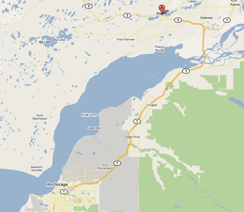
As you can also see on that map, the U.S. military's Fort Richardson is located at the northeast section of Anchorage, and is quite large.